Harajuku to Shibuya: The Forest Walk Your Map App Skips
Harajuku and Shibuya are one train stop apart. Between them runs one of Tokyo's most famous shopping streets — and, hidden behind a fence of trees, a 70-hectare forest.
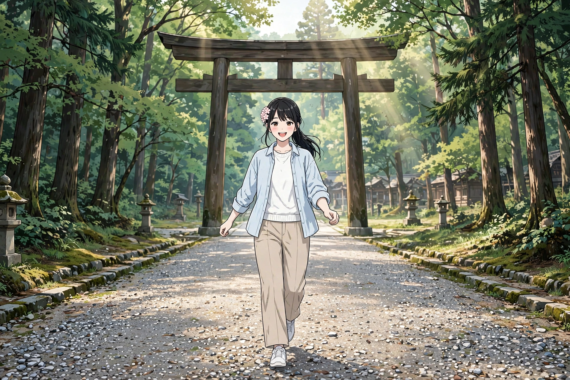
Harajuku and Shibuya sit one stop apart on the Yamanote Line, and the obvious walk between them is a straight line down a shopping avenue — flagship stores, crowds, traffic. Shift a few minutes west, though, and the same two stations connect through a planted forest, a great shrine, an Olympic park and a café lane laid over a buried river.
That is the choice this walk is about. One route spends twenty minutes getting somewhere. The other takes the long way on purpose — and arrives at the busiest crossing in the city having crossed a forest to get there.
The short version
One train stop apart, two completely different walks. The default route is a straight shopping avenue, ≈1.5 km and ≈20 minutes of flagship stores and traffic. The curated route takes the long way: a five-minute crepe detour on Takeshita Street → the gravel forest approach of Meiji Jingu, planted with ≈100,000 donated trees → the main sanctuary (bow at the torii, rinse at the temizuya, two bows, two claps, one bow) → Yoyogi Park's lawns → Cat Street, a café lane following a river buried for the 1964 Olympics → Miyashita Park → Shibuya Scramble Crossing. Snacks: Marion Crêpes, the shrine's own forest café, organic matcha on Cat Street, doughnuts at the lane's end. Toilets: three free anchors — Forest Terrace, the shrine and park, Miyashita Park. Best start: morning, shrine first.
Open the default route in Google Maps Open the curated forest-and-lane route in Google Maps
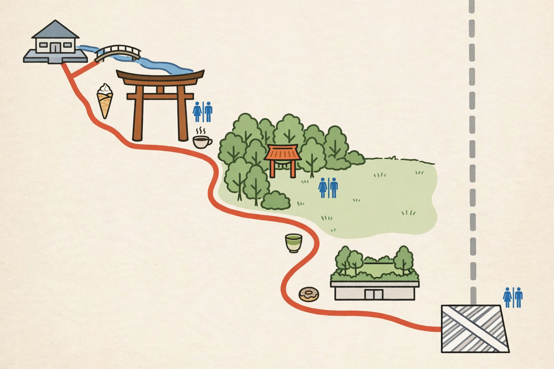
The default route — what your map app gives you
From Harajuku, standard navigation points you straight south down the street corridor — Meiji-dori or the Koen-dori side — an estimated ≈1.5 km and ≈20 minutes of continuous walking (the live link below shows the current figures).
It is an efficient walk through famous retail: flagship frontage, wide pavements, constant traffic. What it never does is turn in. The shrine forest runs beside the road for much of the way, behind its fence and tree line, and Cat Street — the lane this article takes — runs parallel one block over, unsuggested.
Open the default route in Google Maps
The temptation at the start: Takeshita Street's crepes
Honesty first: the best excuse for the fast street stands on it. Takeshita-dori, the ≈350-metre youth-fashion lane outside the station's Takeshita exit, is the crowded, candy-coloured heart of Harajuku — and partway down it stands Marion Crêpes.
Marion began in 1976 as a crepe wagon on Koen-dori in Shibuya, and opened on Takeshita Street in 1977, on the site it still occupies. By the company's own history, it was the first shop in Japan to serve crepes wrapped in paper to eat on the go — the format that became the Harajuku crepe, in roughly 70 varieties, for a few hundred yen (usually open about 10:00–21:00).
It sits on the default side of the station, so treat it as this walk does: a five-minute there-and-back before you turn toward the trees — or the one edible argument for taking the fast street after all.

Detours & comfort
The Guide's snack stops — and, further down, the route's toilet anchors. The small certainties that make a long walk easy.
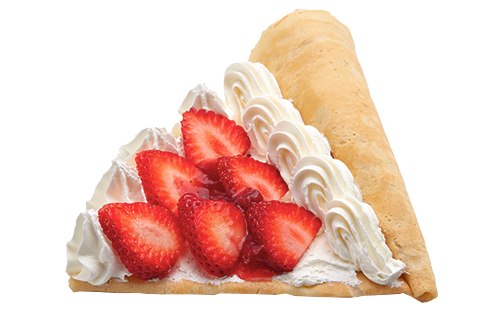
Marion Crêpes — the crepe detour
Partway down Takeshita Street, on the site the shop has occupied since 1977: by the company's own history, the first shop in Japan to serve crepes wrapped in paper to eat on the go. Roughly 70 varieties, a few hundred yen at the counter; usually open about 10:00–21:00.
Photo: the shop's own strawberry cream crepe. Photo: Marion Crêpes official menu.
The south approach: a forest that was planted on purpose
Cross Jingubashi bridge from the station and the city stops. The first great torii — bow once before you pass under it — opens onto a wide gravel approach that runs about ten minutes under a high canopy to the shrine buildings. Walk at the sides of the path as you go: by shrine custom, the centre is the kami's way.
None of this forest is a leftover. Meiji Jingu's grounds run to 70 hectares, and the woodland was planted for the shrine's founding: ≈100,000 trees of 365 species, donated from all over Japan and set in the ground by ≈110,000 young volunteers. The planners designed an "eternal forest" that would renew itself — a 2013 survey counted ≈234 species and ≈36,000 trees, the succession working as intended.
Halfway up the approach, the path passes the shrine's famous walls of offerings: stacked sake barrels donated by brewers across Japan, and wine barrels sent from Burgundy — a forest of gifts on the way to a forest that was one.
The shrine keeps its own café at the entrance, in front of the first torii: CAFÉ Mori no Terrace, in the Forest Terrace complex — coffee, tea, cakes and light food on a wooden terrace at the forest's edge, open from 9:00 until the shrine gates close (last order 30 minutes before). It is the walk's natural first pause, and its toilet block is the route's start anchor.
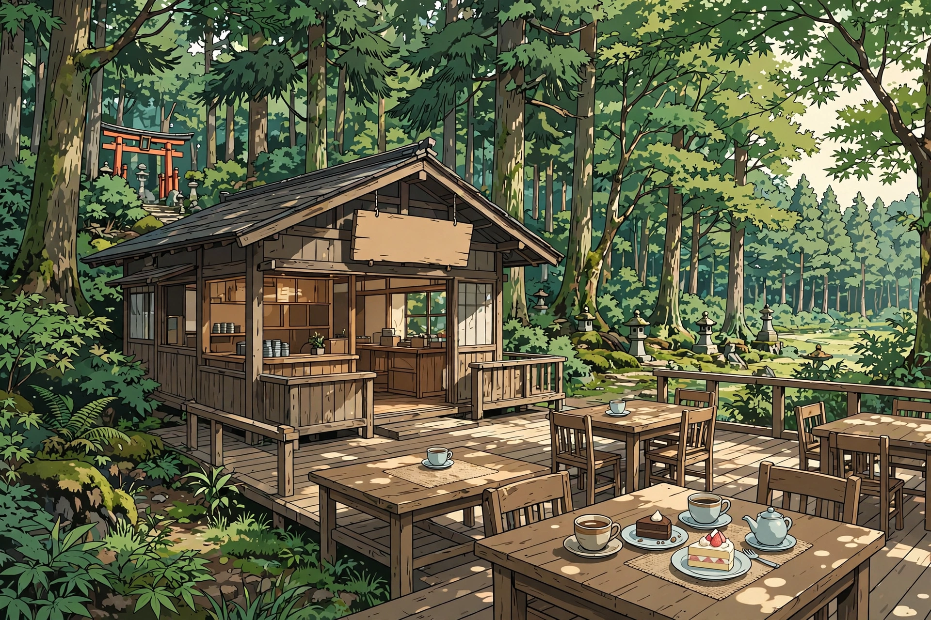
CAFÉ Mori no Terrace — coffee at the forest's edge
The shrine's own café, in the Forest Terrace complex in front of the first torii: coffee, tea, cakes and light food on a wooden terrace under the trees. Open 9:00 until the shrine gates close, last order 30 minutes before — in November, that means a 16:10 finish. The complex's toilet block, with multipurpose accessible toilets, is the route's start anchor.
— The Guide: Forest first — the gates close at sunset.
The main sanctuary: how to stand in front of a shrine
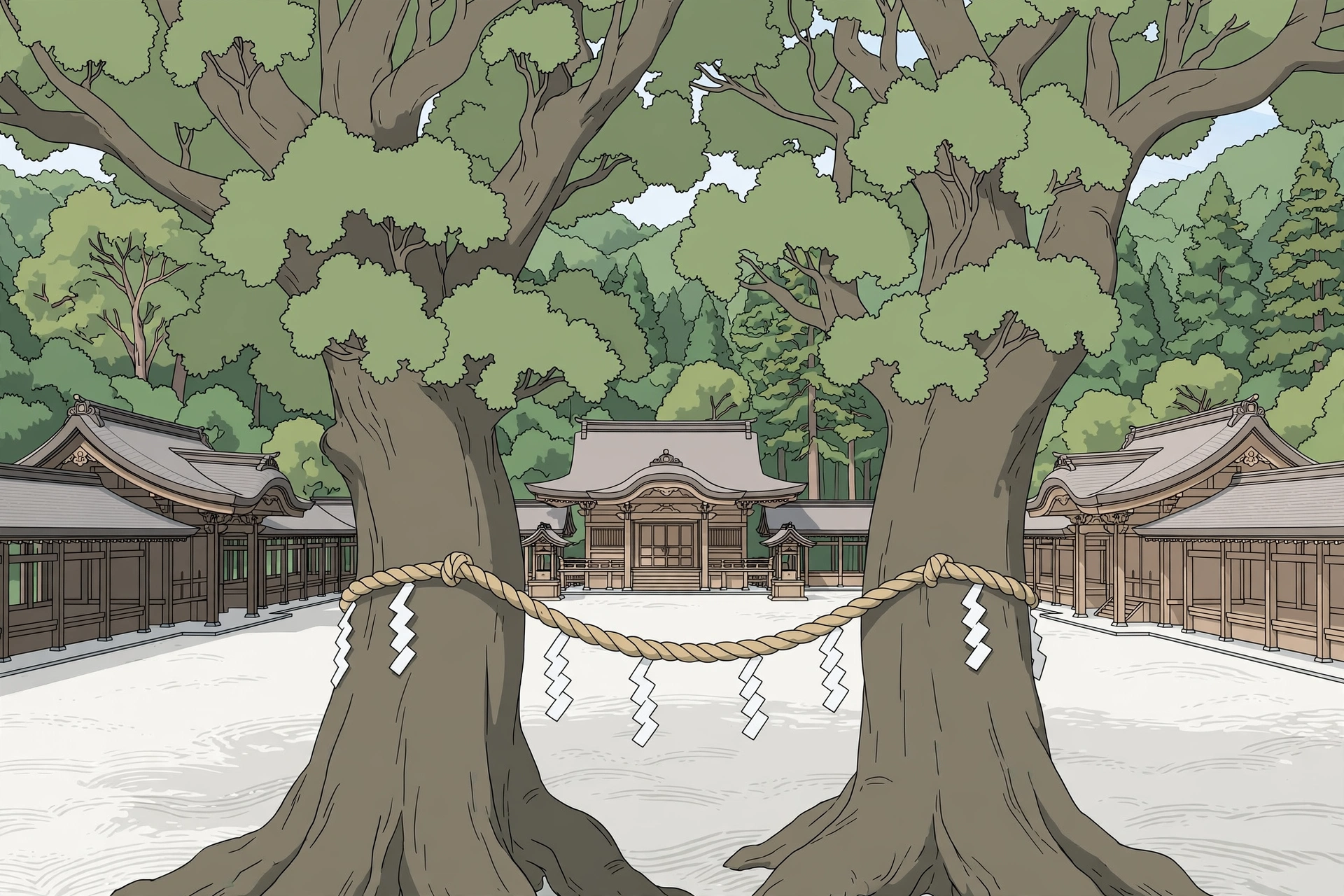
Meiji Jingu was consecrated on 1 November 1920, enshrining Emperor Meiji and Empress Shoken. The main hall standing today was rebuilt in 1958, after the original was lost to air raids in 1945.
Before the hall, pause at the temizuya, the water pavilion: ladle in your right hand, rinse your left hand, then your right; pour water into a cupped hand to rinse your mouth — never drink from the ladle — then rinse your hands once more. At the offering box: a coin, two deep bows, two claps, a quiet moment, one final bow.
In the courtyard stand the Meoto Kusu, the "husband-and-wife camphors": two great camphor trees linked by a sacred shimenawa rope, a well-known symbol of happy marriage and family safety. Photographs along the forest paths are part of the visit; inside the sanctuary, cameras stay away — the signs mark where.
Yoyogi Park: the city's front lawn
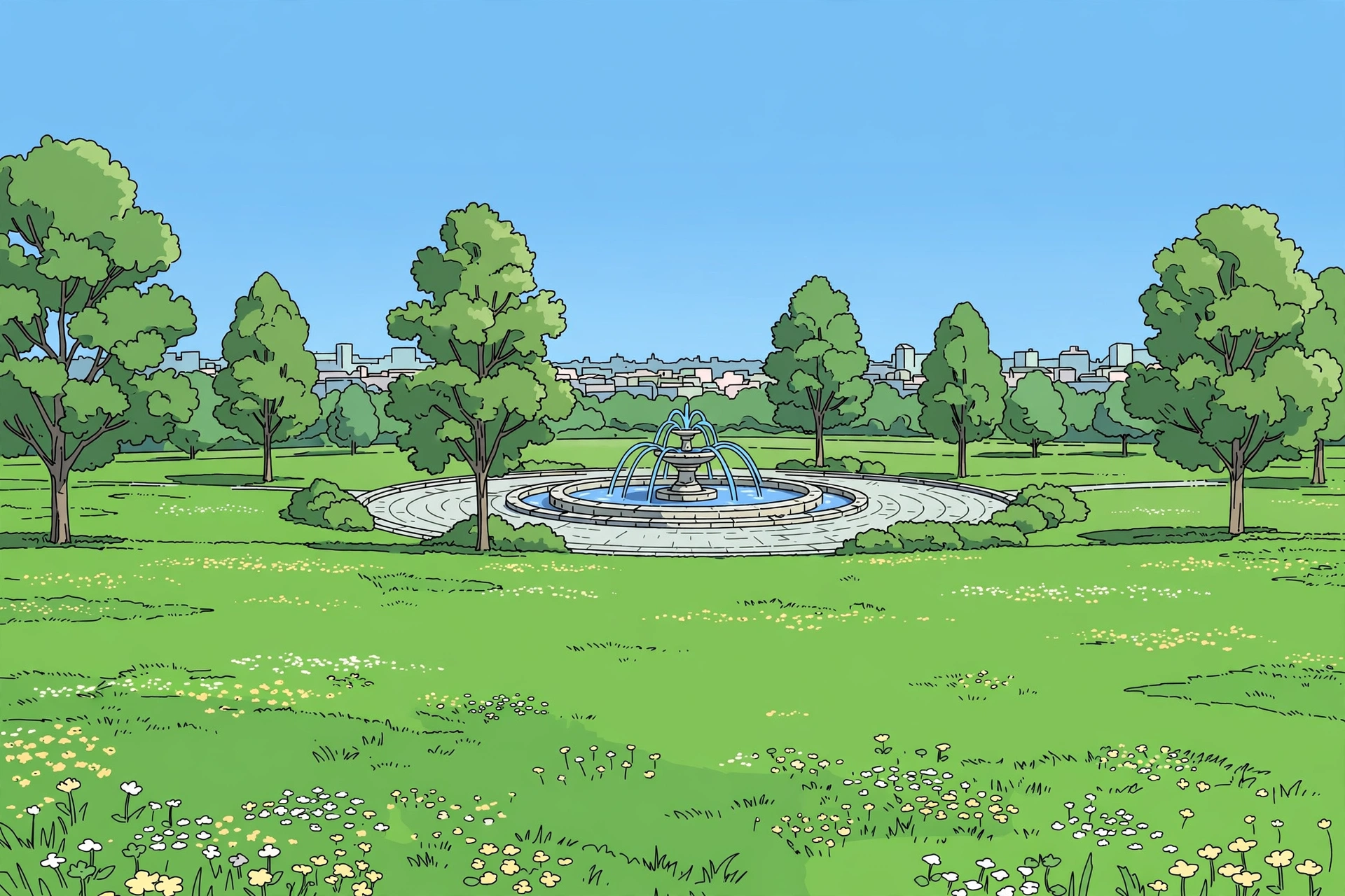
Out of the shrine's west side, the trees open into grass. Yoyogi Park spreads over 54.1 hectares beside the shrine — land that was an army parade ground, then the US military housing of Washington Heights, then the athletes' village for the 1964 Tokyo Olympics, before opening as a park in 1967.
The walk skims the park's Harajuku-side edge: lawns, a fountain plaza, weekend life spread out on the grass. It is the hinge between the shrine's quiet and the lanes ahead — sit for ten minutes if the day allows.
Cat Street: the river that became a lane
From the park's Harajuku-side gate, the Jingumae lanes lead east to a lane with two names. To the city it is the Kyu-Shibuya-gawa Yuhodo — the Former Shibuya River Promenade. To everyone else, it is Cat Street.
Open the curated forest-and-lane route in Google Maps The full walk in this article, waypointed via Meiji Jingu, Cat Street and Miyashita Park.
The lane follows the curve of the Shibuya (Onden) River, which was culverted over ahead of the 1964 Tokyo Olympics; the water still runs beneath the pavement. What replaced it is ≈0.8–1 km of pedestrian-priority lane — boutiques, vintage shops and cafés at walking scale, an end-to-end stroll of about 15–20 minutes. The cat in the name is folklore: the lane is said to have been named for the many cats that lived along the river, or for land shaped like a cat's forehead.
Mid-lane, THE MATCHA TOKYO Omotesando (5-11-13 Jingumae) is the matcha pause: a specialist built around what the brand describes as 100% organic matcha, served as lattes, soft serve and sweets (typically 11:00–19:00 — hours vary; listings describe the shop as cashless only, so carry a card or phone payment).
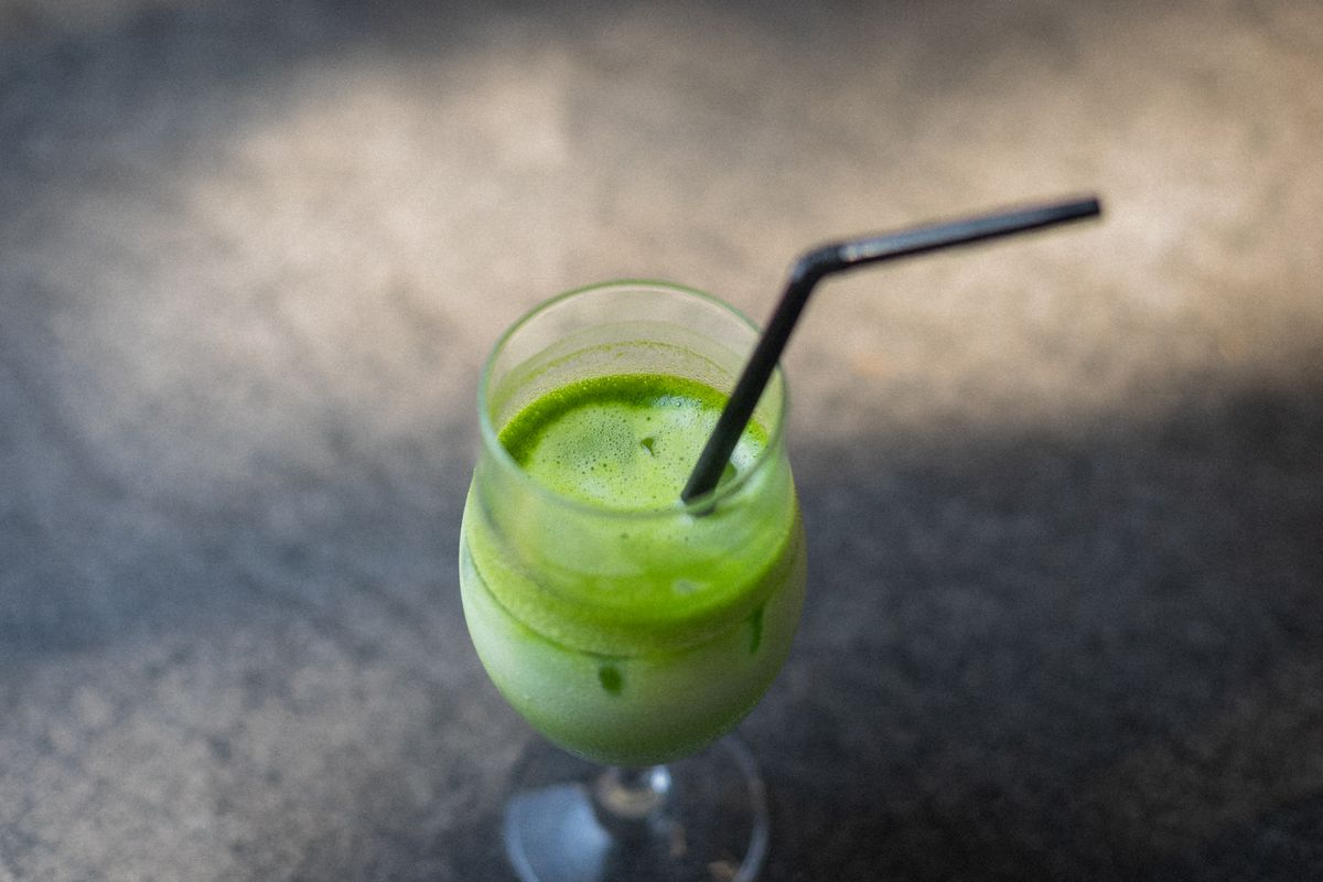
THE MATCHA TOKYO Omotesando — the matcha pause
Mid-lane on Cat Street: a matcha specialist built around what the brand describes as 100% organic matcha — lattes, soft serve and sweets. Typically 11:00–19:00; hours vary, and listings describe the shop as cashless only.
Photo: the treat — an iced matcha latte — not the shop's own drink. Photo: Gu Ko via Pexels.

Good Town Doughnuts & The Little BAKERY Tokyo — the last sweet stop
Near the lane's Shibuya end, at Jingumae 6-13-6, the two brands now run as one combined shop — the doughnut counter inside The Little BAKERY Tokyo: oversized American-style doughnuts including vegan options, and an American-style bakery café with seats. Daytime hours — they vary by listing, so check before you go.
Photo: the treat — doughnuts on display — not the shop's own product. Photo: Kathrine Birch via Pexels.
Near the lane's Shibuya end, the doughnut stop is the last sweet pause before the city turns up its volume — from here the lane runs on to Miyashita Park and the station.
Arrival: down into the Scramble
Cat Street's south end runs into Miyashita Park, where a rooftop park rides above the shops along the old river line. Below it, the lane delivers you to the front of Shibuya Station — and the crossing.
Shibuya Scramble Crossing took its all-way form in 1973. At peak moments, several thousand people move across it on a single green — the figure commonly quoted is up to about 3,000, while Tokyo's official tourism guide puts it at upwards of 1,000 crossing at once. An hour ago: gravel, canopy, birdsong. Now: this. The contrast is the souvenir.
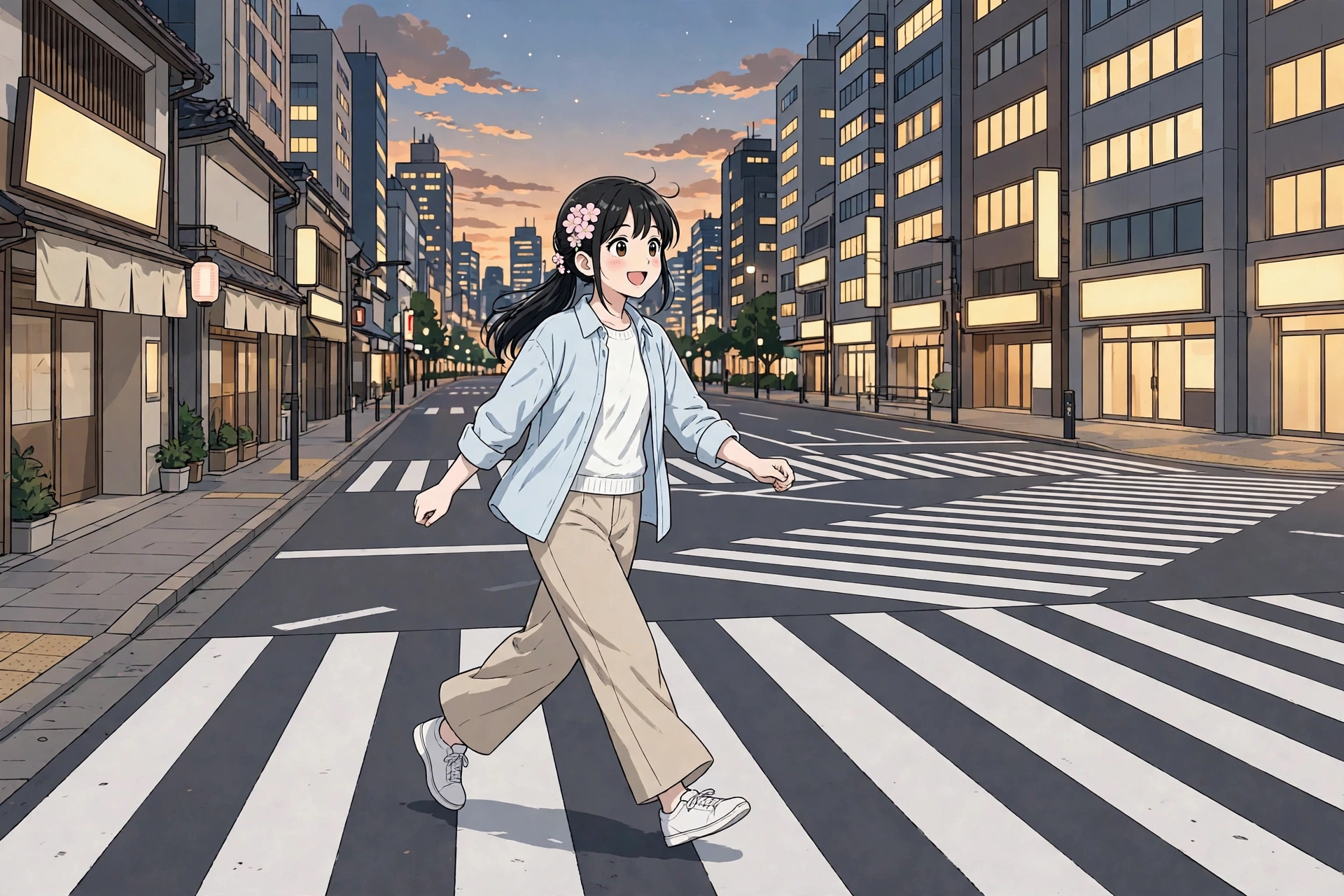
The two walks, side by side
| Feature | Default Avenue Route | Curated Forest & Lane Route |
|---|---|---|
| Primary scenery | Flagship stores, traffic, crowds | Planted forest, great shrine, park lawns, café lane |
| Walking distance (estimate) | ≈1.5 km | ≈4–4.5 km |
| Pure walking time (estimate) | ≈20 min | ≈60 min |
| Total budgeted time (estimate) | ≈20 min | Half a day (2.5–4 hours) with stops |
| Terrain & Access | Flat, paved sidewalk | Gravel shrine approaches, park lawns, paved lanes |
The honest trade: this curated route does not pretend to be a shortcut. It spends roughly 40 extra minutes of walking and returns a shrine forest, a sanctuary, an Olympic park and a buried river — the fullest hour in this corner of Tokyo, ending at its loudest corner.
Practical planning
- Best time of day: Go in the morning, and do the shrine first. Meiji Jingu's gates open with sunrise and close with sunset — 6:10 to 16:10 in November, 5:00 to 18:30 in June; the shrine publishes the full monthly table. Grounds entry is free, every day; inner facilities keep shorter hours (mainly 9:00–16:00). Arrive at the crossing toward dusk if you want it at full glow.
- Terrain & luggage: The shrine approaches are gravel — wheeled suitcases do not belong on them, and dragging one through the forest is the fastest way to ruin the walk's best hour. Travel hands-free.
- Navigation: The forest paths fork without much signage, and Cat Street's north entrance is an unmarked lane mouth that is easy to walk past. A working map pin matters more on this walk than on most.
- Route links (Google Maps, walking mode): Default route Curated forest-and-lane route The distances and times in this article are estimates; opening either link shows the live walking distance and time in Google Maps.
Toilets on this route
Start: Forest Terrace, at Meiji Jingu's Harajuku entrance (multipurpose accessible toilets by the café) · Midpoint: Meiji Jingu's main-sanctuary area and Yoyogi Park's toilet blocks · Destination: MIYASHITA PARK (rooftop park toilets, including two accessible rooms) and Shibuya Scramble Square (accessible restrooms on most floors). All free — and Cat Street's cafés are the customer fallback between the park and Shibuya. No leg of the walk runs more than about 10–15 minutes between anchors.
Using a Japanese toilet: the bidet seat's three buttons are おしり (oshiri — rear wash) · ビデ (bidet — front) · 止 (stop). Toilet paper is provided, and it is flushable.
Carry a small hand towel — many restrooms have no paper towels, and locals carry their own. A tenugui hand towel doubles as a souvenir.
Plan this trip
- Read our complete guide to luggage in Japan — the 160 cm rule, forwarding and lockers before you set out — this is a hands-free walk.
- Stay connected while navigating forest paths and back lanes with our Japan eSIM comparison.
- Explore the shopping at the walk's south end in our guide to buying souvenirs in Japan by where you live.
Sources
- Meiji Jingu (official site) — "How to visit": grounds hours by month (gates open with sunrise, close with sunset), free entry, inner-facility hours; precinct map (café, facilities) (accessed 7 November 2026).
- Highlighting Japan (Government of Japan online magazine) — the shrine's own account of the forest: ≈100,000 donated trees of 365 species, ≈110,000 young volunteers, the "eternal forest" plan, and the 2013 survey (accessed 7 November 2026).
- Forest Terrace Meiji Jingu (official operator) — CAFÉ Mori no Terrace: 9:00 until gate closing, last order 30 minutes before (accessed 7 November 2026).
- Meiji Jingu visitor guidance — temizuya order, two bows / two claps / one bow, walking at the sides of the approach, photography inside the sanctuary (as published by the shrine and carried by shrine-guide sources; accessed 7 November 2026).
- Reference cross-checks — Yoyogi Park (54.1 ha; parade ground → Washington Heights → 1964 Olympic village → park, 1967); Cat Street (Kyu-Shibuya-gawa Yuhodo, the river culverted for the 1964 Olympics; ≈0.8–1 km); Takeshita Street (≈350 m); Shibuya Scramble (all-way form, 1973; GO TOKYO's "upwards of 1,000 people"; the up-to-≈3,000-per-green figure via the Shibuya Center Street count) (accessed 7 November 2026).
- Route measurements (cross-checks) — Tokyo Metropolitan Government walking map (Harajuku → shrine → Yoyogi Park course, ≈4.8 km / ≈72 min) and AllTrails' measured shrine trail (≈4.3 km / ≈52 min), behind this article's labelled estimates (accessed 7 November 2026).
- Google Maps — Directions links for both routes on this page, built with the Google Maps URL API in walking mode (added 7 November 2026); opening a link shows the live distance and time for that route.
- Walker-comfort sources (checked 7 November 2026) — Meiji Jingu official precinct map and Forest Terrace operator page (café; entrance toilets); Tokyo metropolitan barrier-free surveys (Forest Terrace multipurpose toilets; Yoyogi Park blocks); MIYASHITA PARK park-operator overview (rooftop toilets, two accessible rooms); Shibuya Scramble Square official information page (accessible restrooms B1F, 3F–7F, 9F–14F); shop listings via GOOD LUCK TRIP, Tabelog-class listings, Tripadvisor and Wanderlog for Marion Crêpes, THE MATCHA TOKYO Omotesando, Good Town Doughnuts and The Little BAKERY Tokyo. Shop prices are deliberately not quoted — they appear only on each shop's own current menu.
Advertising disclosure. This page contains affiliate links — advertising. If you buy through a link on this site, we may earn a commission, at no extra cost to you. Prices and conditions shown here were checked against the providers' official pages on the dates stated and may have changed since. This site is a research desk: everything here is compiled from publicly available information, not from personal use, and nothing on this page is a personal endorsement based on first-hand experience.